


Visualise your Geo Spatial Data with AziMap
Use Azimap's data visualisation tools to import and digitise your location data on dynamic web maps

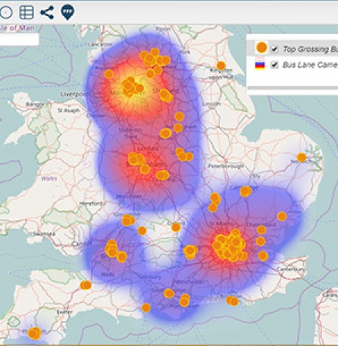
Bus lanes bank £31m in a year for councils
Bus lane cameras generate £31m a year in fines for 160 local authorities.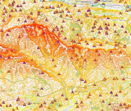
OS Terrain 50
Where to locate wind turbines and mobile phone towers with the help of OS Terrain 50.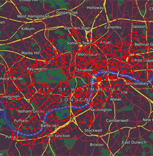
London Santander Cycle Stations
With 750 Santander Cycles docking station throughout London, locate your nearest station.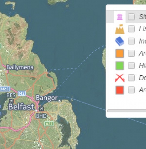
Key Historical Archaeological Locations
Using data from Open Data Northern Ireland, view the location for all historical sites.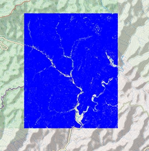
Smokemont 40 ft Contours
Smokemont 40 ft Interval Contour Lines provides the best available public domain vector elevation.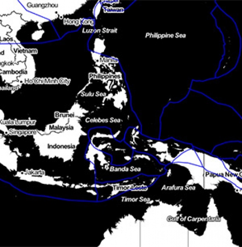
Location of Tectonic Plates
Identify the location and feature information of tectonic plates globally.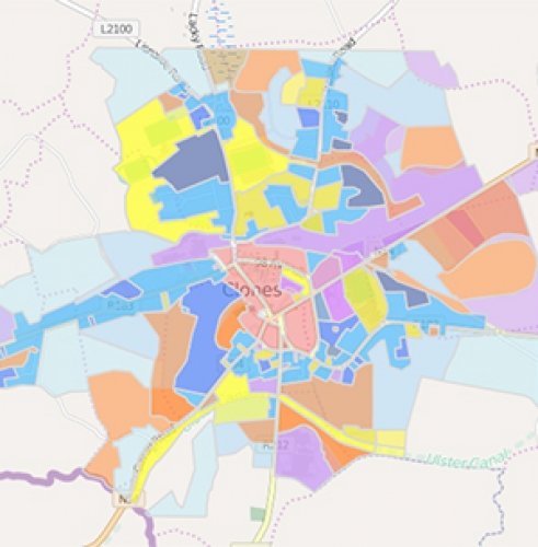
Local Area Plan of Clones
Using data from Myplan.ie, identify the development plan for the area of Clones.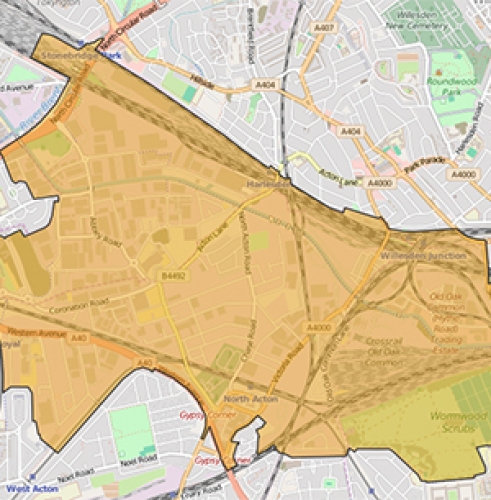
Oak & Park Royal Development Boundary
Web Map highlighting the development boundary in the Oak and Park Royal regeneration development.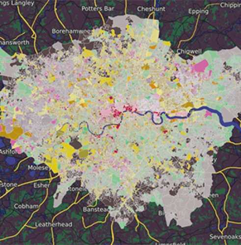
London Output Area Classification
Identify how the characteristics of an area and its population is crucial to decision making.


