Even Santa Uses Azimap!
As Santa prepares to start his maiden voyage around the world, we can’t forget how much preparation is required by Santa and his team of elves to ensure every child around the world experiences the spirit of Christmas.
To help Santa coordinate and plan his time, for the first time ever he has turned to the IoT and GIS with the help of Azimap.
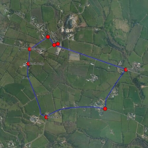
Santa approached the Azimap team to help him route his journey (which is top secret) and provide the elves with an opportunity to monitor his progress from the comfort of the North Pole.
In addition to routing Santa’s journey our team of GIS consultants helped him to -
- measure how much, fuel would be required to power his slay if there wasn’t enough Christmas spirit being generate whilst flying over some countries
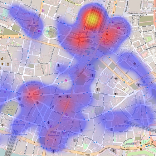
- visualise the exact location of 291939 cities of the world
- create a heatmap of the densely position cities
- use the what3words feature to create a unique 3 world name of areas of the world which do not have postcode
- search for the most remote locations throughout the world
- get a birds eye view of locations using the google street view
Azimap has provided Santa with the tools to plan for every eventually to ensure he delivers the spirit of Christmas to all children and safely return to the North Pole to celebrate with Mrs Claus and the elves including Buddy!.
Of course, the Azimap team will have a support team on call should Santa or any of his elves experience any technical difficulties.
We wish everyone a very merry Christmas and happy new year and we look forward to 2017.