How to upload and view images using Azimap GIS
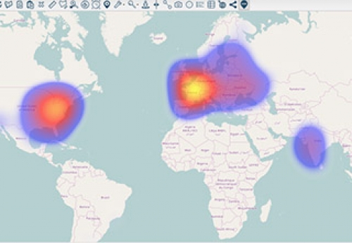
Using azimap, webmapping GIS, users can drag and drop images to help contextualise and visualise specific geographic information data on a map.
Using azimap, webmapping GIS, users can drag and drop images to help contextualise and visualise specific geographic information data on a map.