Sheffield Primary and Secondary School Catchment Areas
This community map has been created, following a request by Tom Albone under the Freedom of Information Act to Sheffield City Council for details of primary and secondary school catchment areas (i.e. predefined areas within which residents receive some priority in the admissions criteria).
To support this request Sheffield City Council provided Tom with two shape files which represents the primary and secondary catchment in operation in Sheffield. These in turn have been download and imported directly in Azimap for analysis.
Each of the layers have subsequently been styled using using the map styler.
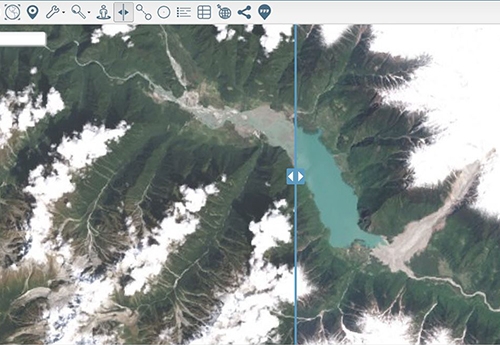
The editor used the map configuration tool to enabled which tools should become available in the toolbar. In this example the map administrator has enabled the three words, google street view, layer swipe and zoom to my location tools.
This is an excellent example of how shape files can be quickly imported in Azimap and the location of a school can influence people who are currently in market to buy a property.
Disclaimer:
a. Catchment areas are defined at the level of residential address as such, the exact positioning of boundaries in the attached shape layers should be considered illustrative.
a. Vectors dividing undeveloped areas (e.g. greenbelt, brownfield sites) do not determine the catchment status of future developments built on and around these boundaries.
a. The Local Land and Property Registered (LLPG) is maintained and monitored regularly, identifying new residential addresses to assign catchment status and were applicable, catchment boundaries in the shape layers are amended.
a. Some residential addresses are assigned more than one catchment school: this is represented in the attached files by overlapping shapes
View Tom Albone Freedom of Information request on the what do they know website.