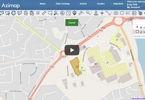
GIS for Location Intelligence
During the webinar, we will demonstrate how to import, digitise, analyse and disseminate location data using Azimap GIS.
Webinar Objectives
- To provide delegates with an understanding of Azimap GIS including its strengths and limitations
- Introduce core functionality of Azimap GIS
- To demonstrate how to import, manipulate, analyse, interpret, manage and disseminate information to your target audience
- Showcase real-world example of how Azimap is being used
Learning Outcomes
- The process / workflow associated to the importing of spatial files (shape, spatial csv, tab, KML or raster)
- Digitising of feature information • How to split, merge and join polygons
- Using the spatial analysis tool to digitise / redigitise information
- How to use the map styler to create meaningful symbology for your data
- Using the feedback tool to promote citizen reporting and cross functional collaboration
- How to use the multiple sharing and embedding options to support the dissemination of information
- How to create print ready copies of maps