Getting Started with Sentinel-2
In partnership with Mallon Technology we have dedicated this webinar to focus on how Government Departments and people who have a dependency on the visualisation of geospatial data can make informed strategic informed decisions, based on the analysis of Sentinel-2 imagery.
What you will Learn
- What is Sentinel-2
- Who owns it
- What is the typical applications
- Frequency satellites orbit the earth
- The key features of the sentinel toolbox and how these can be used
- How to detect and compare change in data
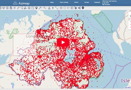
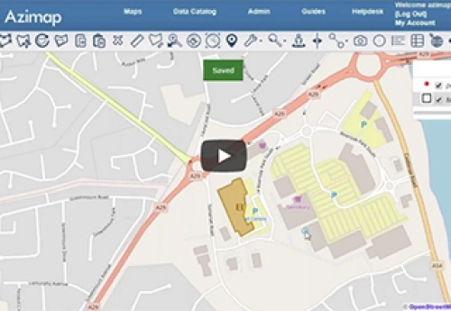
- How to present data using Azimap with a Sentinel-2 base layer


