GIS for Defence
Using GIS To Command, Control, Communicate and Coordinate Military Operations.
GIS plays an essential role across many military operations. GIS, provides military departments with the ability to command, control, communicate and coordinate operations by analysing digitised spatial information.
The use of GIS within military forces has revolutionised the way in which defence forces deploy relief in the interest of serving officers and the civilians they are protecting.
The defence sector uses GIS to fulfil a variety of requirements, including digitisation of paper maps, terrain analysis, remote sensing, route optimisation and deployment of emergency relief. Using GIS provides those working on military operations with the tools to analyse and present data for accurate decision making.
Discover how Azimap can be used to command, control, communicate and coordinate military operations by requesting a personalised demo or by signing up to a free trial.
Interactive Case Studies

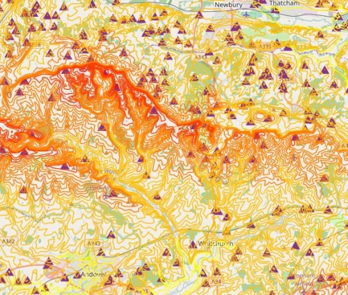
OS Terrain 50
Where to locate wind turbines and mobile phone towers with the help of OS Terrain 50.
Envo-GEO partners with Azimap to display LiDAR feature recognition
Envo-Geo use Azimap to evaluate the potential for dissemination and spatial analysis of LiDAR data.