


News
Home | News
LiDAR feature recognition Using GIS
15th Nov 2016
With 17 years’ experience in the GI sector, Envo-GEO (Environmental Geoinformatics) specialise in providing GIS, remote sensing and 3D environmental data modelling solutions to public, private and research clients throughout the United Kingdom and Ireland.
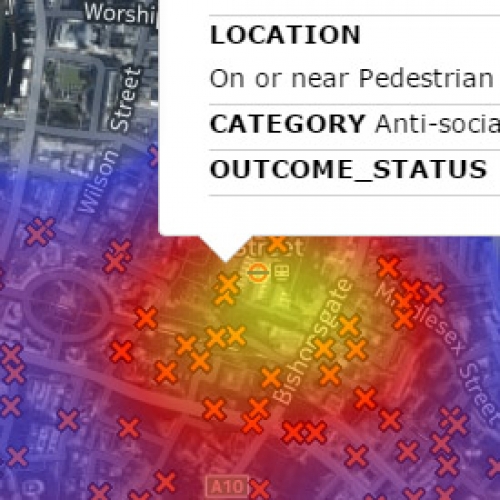
Using GIS To Plan Emergency Response Teams
1st Nov 2016
In recent years the use of Geographic Information System (GIS) to map crime within law enforcement and emergency service departments has become essential in order for them to become more transparent. Historically, law enforcement agencies depended on the hardcopy maps to chart criminal activity. However, they were static and as crime rates increased, they became difficult to manage.
Sneak Peek at what’s coming in the Winter Roadmap
27th Oct 2016
As we continue our commitment on enhance our core offering, we are confident that our upcoming release will mark the next leap forward in our product development to fulfil the expectations of market demands.

Win a 3 day Pass to Web Summit worth €898
24th Oct 2016
Join us and 50,000+ attendees at the Web Summit, Europe's Largest Technology Marketplace by entering to win a three day conference pass.
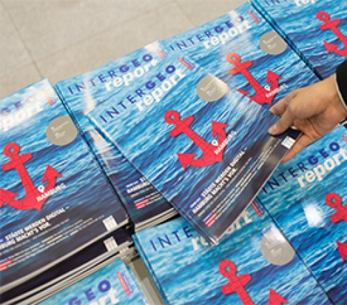
Azimap Exhibits at INTERGEO
17th Oct 2016
Between 11-13 October, the Azimap team broke the barriers between land and language to exhibit at Europe’s largest geospatial event INTERGEO, which took place in Hamburg.


