


News
Home | News
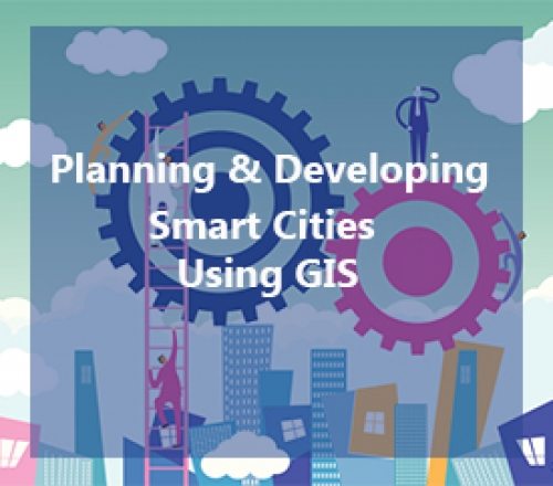
Developing Smart Cities Using GIS
8th Aug 2016
Smart Cities are commonly defined as “a data-driven urban environment aimed at sustainability, transparency and efficiency, driven by an ICT enabled model rendering a visual framework, and a seamless use of disruptive technologies in various application scenarios, served by an intelligent community framework”.

Azimap awarded place on G-Cloud 8 framework agreement
29th Jul 2016
We are delighted to announce that Azimap has been appointed by the Crown Commercial Service to supply cloud-based GIS (Geographic Information System) and services to the UK public sector.

Great Mallon Technology and Azimap Bake Off in aid of the Cancer Fund for Children
29th Jul 2016
The Azimap and Mallon Technology teams recently joined forces to host a coffee morning in aid the Cancer Fund for Children. During the fundraising event which was held at our head office in Cookstown, on Friday 29th July we challenged all departments to get involved by offering star baker and best department bakes awards.

Pokémon Go the latest trend in location-based gaming
15th Jul 2016
Pokémon Go was successfully launched in the USA with more than 21 million daily active users within three days of the initial release. As a result the success of Pokémon Go has notability secured its place in the market as the most popular US game ever.
What is GIS?
4th Jul 2016
A geographic information system (GIS) provides organisations with a solution to capture, edit, publish and share geographic information in a contextual format via the use of maps.


