


road-map News
Home | News
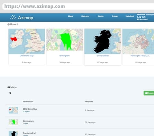
Azimap Announces Major User Interface Changes
20th May 2021
The latest version of Azimap launches today, featuring major new user interface redesigns to deliver significant improvements to the user experience.
Newest Version of Azimap Now Available
27th Aug 2020
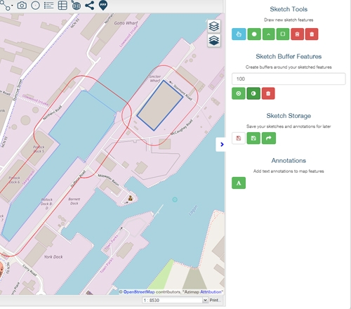
The latest version of Azimap is now available for all customers. Included in this update are a number of new features, including a walking route generator, walking time analysis and improved measurement tools among many others.
Latest Version of Azimap Now Available
13th Sep 2018
Introducing a number of major new features, including Geocoding, Sketch Layers, Speed Limits & Data Joins, Azimap 5.7 is now available for all existing customers.
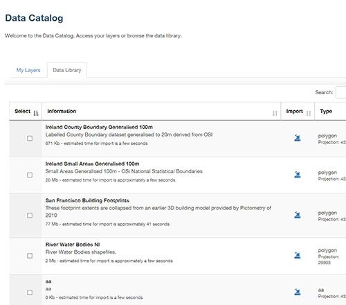
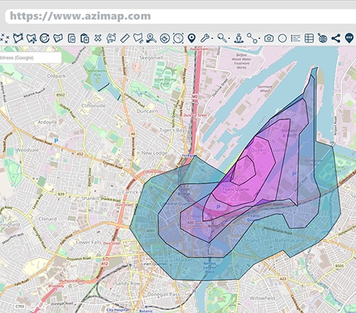
Azimap Launches New Public Data Library
26th Apr 2018
Azimap version 5.5 is now available for all existing customers, featuring a number of new User Interface improvements, new additional features and a brand new Public Data Library.
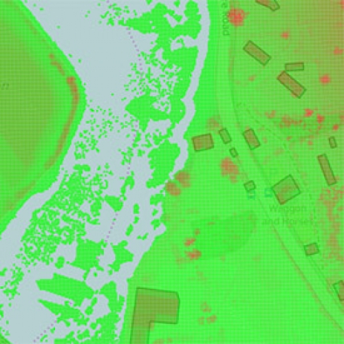
Raster Support And Enhanced GIS Functionality
27th Feb 2017
Azimap web GIS, which is currently used by hundreds of GI professionals worldwide, is delighted to announce with immediate affect the availability of raster support, point clustering, the ability to create a hierarchical structure of layers and numerous user interface enhancements.


