Visualise your Geo Spatial Data with AziMap
Use Azimap's data visualisation tools to import and digitise your location data on dynamic web maps
Spatial Analysis
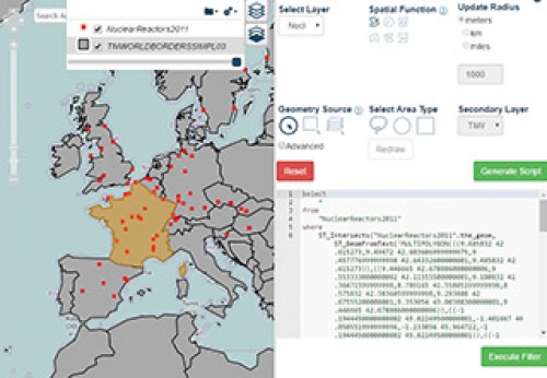
This guide will teach you how to import two shape (zipped) files and how to perform spatial analyHow To Create A Heat Map
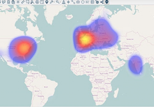
This will teach you how to import a Zipped Shape file and create a heat map in just a few clicks.How to upload and view images using Azimap GIS
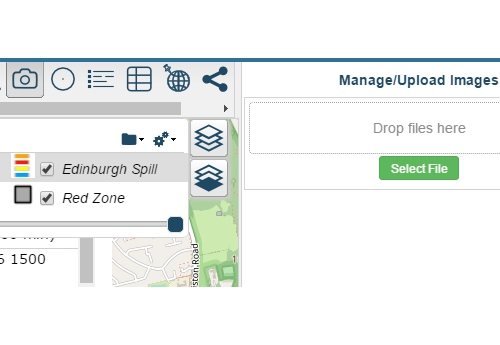
In this short video editors will quickly learn how they can associate upload images to a feature.How To Use Routing
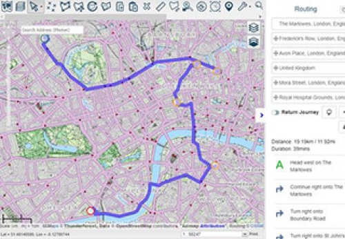
In this guide we will show you how to use the route planning tools.Calculate Drive Time Polygons - Network Analysis
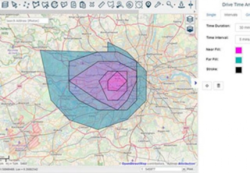
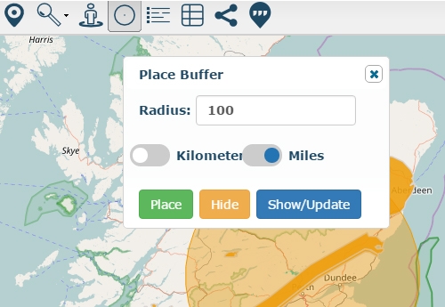
This guide will teach you how to use the drive-time (network) analysis tools.How to place a radius around a point
Using the place radius tool editors can place a radius around a point.Create A Predominance Map
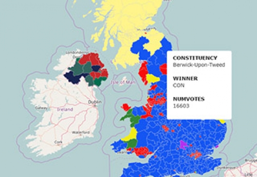
In this guide you will learn how to quickly create a predominance map.How To Digitise Data
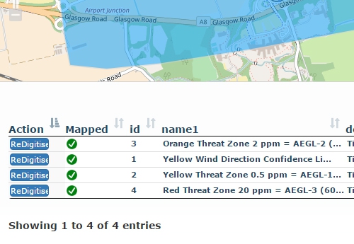
In this short video, editors will learn how to quickly digitise data in a few simple clicks.Using Azimap to view your data in street view mode
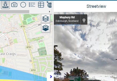
Video showcasing how to view feature location at street level using the Google Street View tool.
