


News
Home | News | How big data can benefit GIS
How big data can benefit GIS

No matter what conference or networking event you attend you will hear of the term ‘big data’ being mentioned. However, how frequently do you hear ‘big data’ out the realm of website development, data capture or customer personas? The answer is not often enough.
Like many buzz words or keyword trends, ‘big data’ comes in many forms. However, it has been widely adopted by marketing agencies and consultants which clouds the judgement for those businesses operating outside of this sector. This aside from a GIS perspective, ‘big data’ defines data sets which are so large – both in volume and complexity – that they require advanced tools and skills to support the management, processing and analysis of the data set.
As such the larger the data set the more labour intensive and time consuming it is to interpret and manipulate, to make informed and constructive business decisions. This is where GIS and ‘big data’ collide to fulfil this need and improve business processes.
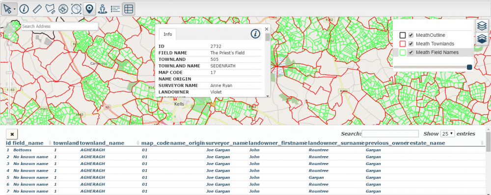
The marriage of big data in the form of geographic information and an intelligent GIS application, such as Azimap, enables organisations to visualise their geographic data in contextual form.
Geographic or Geospatial data, as it is commonly known, can come from many different data sources and in many different formats. This is where a sophisticated GIS application can add significant value for an organisation. An intelligent GIS which can process the geospatial data from variable sources onto a unified view, so that visual and spatial analysis can be performed on each dataset in relation to and in the context of all of the other datasets on that view. This is an incredibly powerful tool for the modern business.
This unified view of the data is more commonly described as a map. The term “map” in itself does not fully describe the complexity and volume of data displayed on that map so to fully understand what we are looking at; we must dig deeper into the data behind it. This is where the crossover between GI and big data become critical. The spatial analysis of a GIS can help provide further insights into Big Datasets, whereas the techniques used to mine and handle big data and further enhance the analysis a GIS can perform.
A sophisticated and intelligent GIS application is the ideal solution for providing organisations with the tools they require to visualise and critically evaluate the contextual information behind their geospatial data.
A GIS application is not only utilised by organisations who seek to become more efficient in the reporting and management of their geospatial data to make more informed business decisions, but GI consultants and professionals are heavily reliant on GI software to manage copious amounts of data from variable data sets. As such, a GIS such as Azimap offers the GI consultant and professional the ability to import large data sets, with variable attributes into a web-mapping visualisation tool.
Thus being more effective with their time whilst producing more effective and accurate reports.
Contact us to receive you personalised demonstration of Azimap or alternatively start visualising your geographic information today by subscribing to a free 30 trial of Azimap professional.


